English
  Português
  Deutsch
  Español
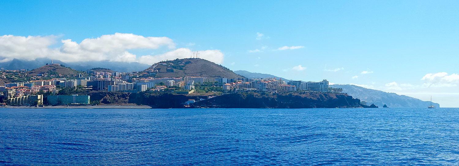
There are many ways of getting to Madeira, but a good start is to locate it on a map.
The Madeiran archipelago is located about 700 km from Africa (almost at the same level as Casablanca, Morocco), 450 km from the Canary Islands, 800 km from the Azores and 900 km from mainland Portugal.
Another way is to locate Portugal, on the Atlantic side of the Iberian Peninsula. Try tracing a route from the Portuguese capital, Lisbon, south-by-south west for approximately 1000 kilometres, and you will come across the Madeiran Archipelago, consisting of two inhabited islands (Madeira and Porto Santo) and two subarchipelagos (the Nature Reserves of Desertas and Selvagens islands), occupying a total area of around 5000 km2 of the Atlantic Ocean.
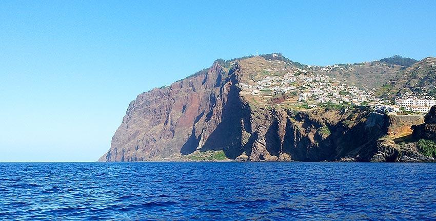
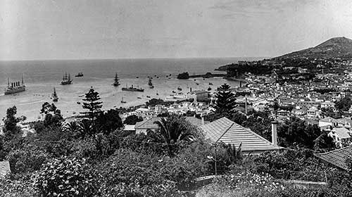
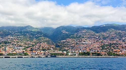
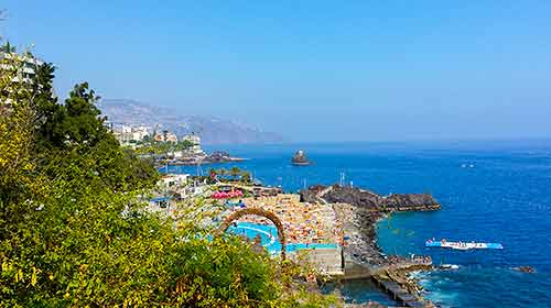
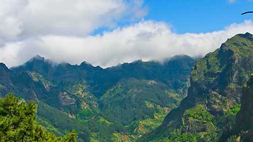
The archipelago is of volcanic origin, but there are no records of volcanic activity since its discovery. The main island, Madeira, is about 57 km long and around 22 km wide. Its capital, Funchal, located in a natural bay on the south coast, has a modern harbour, particularly important for cruise ships. Although it is not a big island, you cannot explore it in just one day! So take your time and visit each municipality. Because there is more to Madeira than Funchal… The island’s hilly terrain offers a wide diversity of landscapes — from high peaks (Pico Ruivo is the third highest of Portugal, with 1861 metres of altitude) and impressive cliffs, as Cabo Girão, to deep valleys and the great plateau of Paul da Serra. Laurissilva forest, endemic to Madeira, was classified as a World Heritage Site by UNESCO in 1999.
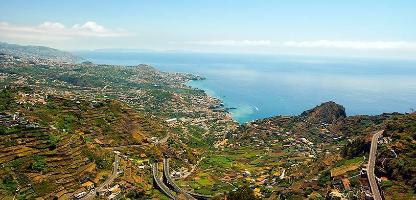
Your plane will land at Madeira’s International Airport on the eastern end of the island, about twenty minutes drive from Funchal. Anyone arriving by sea will dock directly in the beautiful natural harbour of Funchal.
To see where Madeira is located on the map click here.