English
  Português
  Deutsch
  Español
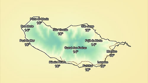
 In the centre of this interactive satellite image you can see Madeira island, below the Canaries, and the Azores archipelago on the upper left-hand side. The image also shows the wind directions, as well as the overall temperature, indicated by warmer (higher temperatures) and cooler colours (lower temperatures). You can zoom in and zoom out using the mouse.