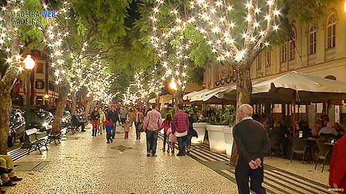
English
  Português
  Deutsch
  Español
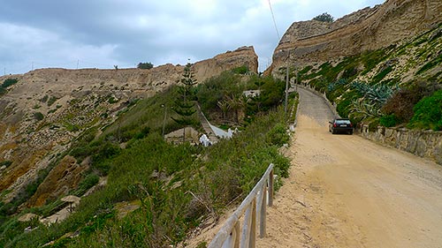
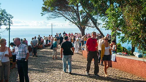
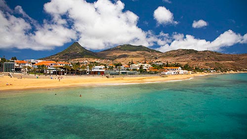
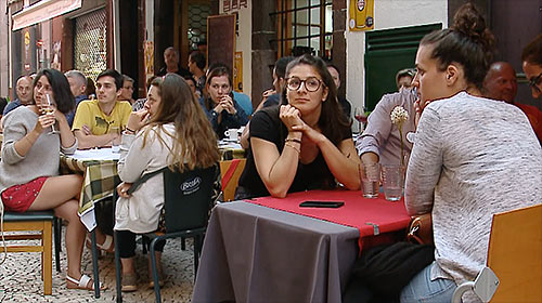
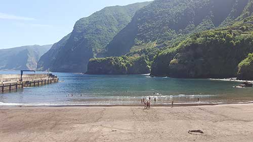
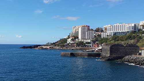
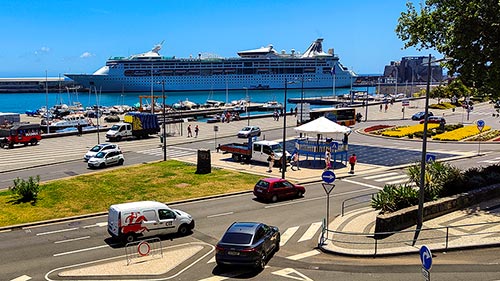
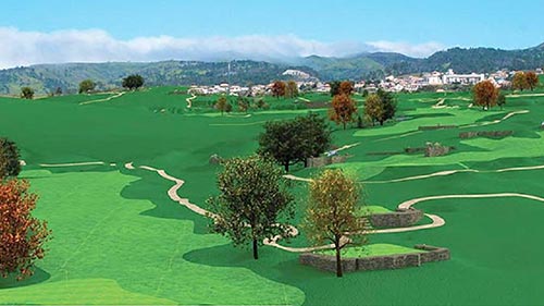
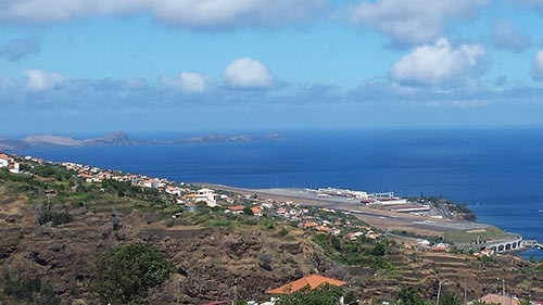
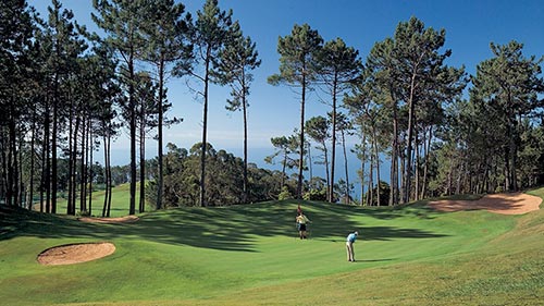
Madeira has a 3.100-kilometre-long network of irrigation channels called "Levadas" for transporting water, an impressive network that winds its way across this volcanic island.
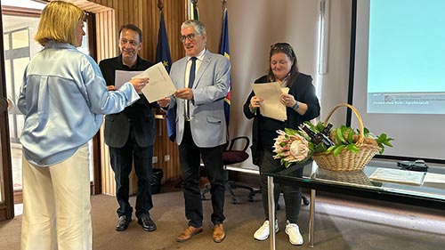
The Regional Government of Madeira intends to classify eight of the numerous and emblematic 'Levadas' it possesses, having for this purpose opened a formal classification procedure with the Directorate-General for Cultural Heritage, which followed the publication of a notice published this week in the Republic Newspaper (Diário da República).
The regional executive has prepared a descriptive and well-founded document about the set of 'Levadas' that will now be submitted for evaluation by the DGPC (General Directorate for Cultural Heritage) for classification. This action follows the intention of the Regional Government to engage the Portuguese State [Government of the Republic] in submitting the candidature of the 'Levadas of Madeira' as a UNESCO World Heritage Site later this year."
Remember that these water transportation channels, primarily directed towards the south of Madeira Island, originate from the more abundant northern region due to the presence of the Laurisilva Forest, a remarkable feat of human engineering. This magnificent heritage work began to be literally "sculpted" by hand at the beginning of the settlement of the island in the 15th century, a network spanning approximately 3,100 kilometres that was only completed in the last century (20th century).
The eight 'Levadas da Madeira' being classified are: Levada das 25 Fontes, Levada do Norte, Levada do Alecrim, Levada do Risco, Levada da Serra do Faial, Levada do Caldeirão Verde, Levada do Rei, and Levada dos Tornos.