Deutsch
  English
  Português
  Español
Geographische Koordinaten: 32º 44’ N 16º58’ W
Land: Portugal
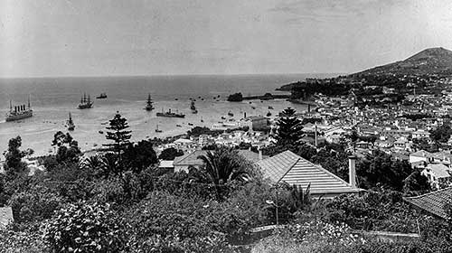
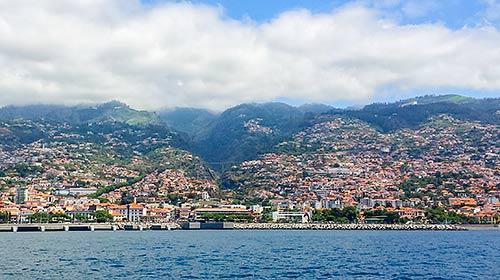
Hauptstadt: Funchal
Politische System: Autonome Region von Portugal
Region: Atlantischen Ozeans
Inseln: Madeira, Porto Santo, Desertas, Selvagens
Gemeinden: Funchal, Câmara de Lobos, Ribeira Brava, Ponta do Sol, Calheta, Porto Moniz, São Vicente, Santana, Machico, Santa Cruz und Porto Santo
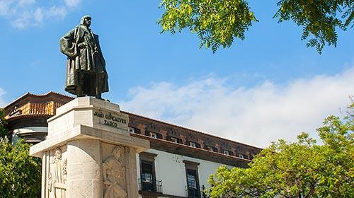
Entdeckung: 1418 (Porto Santo); 1419 (Insel Madeira)
Höchsten Punkt: Pico Ruivo (1861 m)
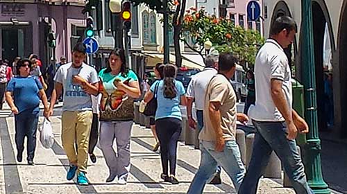
Bevölkerung: 267.785 (laut Volkszählung 2011) mit einer Bevölkerungsdichte von 334,5 Einwohner / km². Die Hauptstadt Funchal umfasst 130.000 Einwohner (45% der Bevölkerung), was 1.500 Einwohner/ km² entspricht.
Fläche: 801 Quadratkilometer (Insel Madeira: 740,7 km², Porto Santo: 42,5 km², Desertas: 14,2 km² mit insgesamt 3 unbewohnten Inseln, Selvagens 3,6 km² insgesamt 3 Inseln und 16 unbewohnte Inselchen)
Sprache: Portugiesisch
Währung: Euro (€)
Zeitzone: MEZ