English
  Português
  Deutsch
  Español
Geographic coordinates: 32º 44’ N 16º58’ W
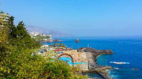
Country: Portugal
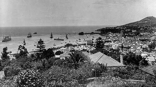
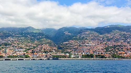
Capital: Funchal
Political system: Autonomous region of Portugal
Region: Atlantic Ocean
Islands: Madeira, Porto Santo, Desertas, Selvagens
Municipalities: Funchal, Câmara de Lobos, Ribeira Brava, Ponta do Sol, Calheta, Porto Moniz, São Vicente, Santana, Machico, Santa Cruz and Porto Santo
Discovery: 1418 (Porto Santo); 1419 (Madeira island)
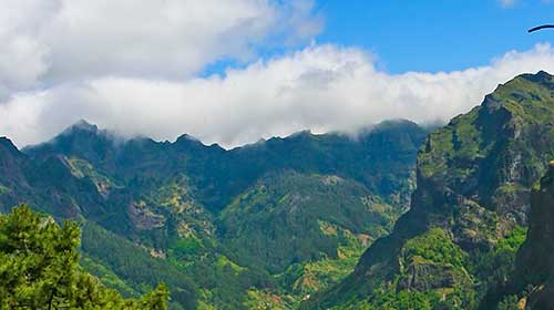
Highest point: Pico Ruivo (1861 meters)
Population: 267,785 (according to the 2011 Census) with a population density of 334.5 inhab./km². The capital, Funchal, includes 130,000 inhabitants (45% of the population), corresponding to 1,500 inhab./km².
Area: 801 square kilometres (Madeira island: 740.7 km²; Porto Santo: 42.5 km²; Desertas: 14.2 km² as the total of 3 uninhabited islands; Selvagens: 3.6 km² as the total of 3 islands and 16 uninhabited islets)
Language: Portuguese
Currency: Euro (€)
Time zone: UTC