English
  Português
  Deutsch
  Español
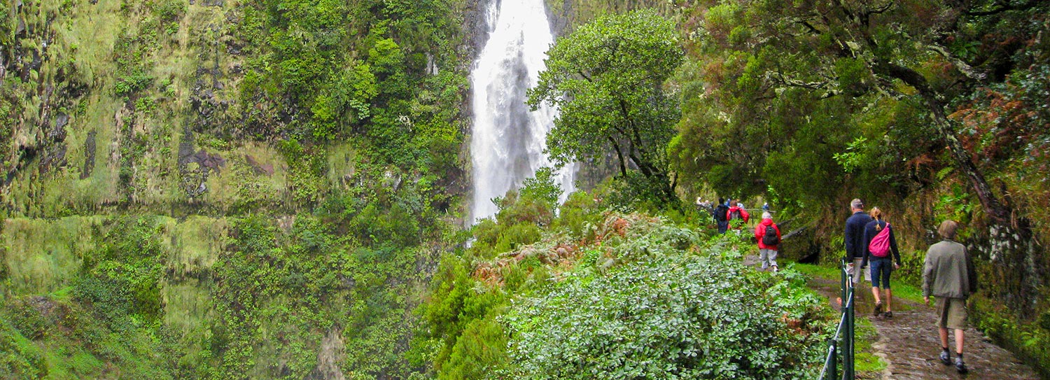
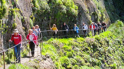
For nature lovers, walking alongside a levada is one of the most unique experiences to have while staying in Madeira. “But what are levadas?”, you may ask. These are man-made channels created to carry water for irrigation of agricultural fields around the island. But such watercourses are not unique to Madeira: what is unique is their accessibility and extent. You need only venture a little way off the main roads to begin to appreciate Madeira's myriad aqueducts - for their beauty, ingenuity of design and for the courage and determination needed to bring the concept to its present glory. Follow the water channels and let yourself be guided through the breathtaking landscapes of mountains and abysses. The island's irrigation system now comprises more than 200 levadas with an impressive 3000 m (1864 miles) of channels, including 40 km (25 miles) of tunnels - and the work started centuries ago.
The earliest settlers on Madeira began cultivating the lower slopes in the south of the island, cutting out terraces (poios in Portuguese). Working with contractors (who sometimes used slave or convict labour), they built the first small water channels, which carried water from springs higher up the mountainsides to irrigate their lands. These narrow watercourses plummet downhill, rushing and frothing with energy; their banks are often festooned with wild flowers.
By the early 1900s there were about 200 of these water channels meandering over about 1000 km (620 miles). Many were privately owned and the undisciplined appropriation of water meant that the island's most valuable asset was often unfairly distributed. In fact, by the mid-1930s only two-thirds of the island's arable land was under cultivation - and just half of that was irrigated. Only the State had the money to implement a major building programme and the authority to enforce a more equitable system of distribution.
So in 1939 the Portuguese government sent a mission to the island to study a combined irrigation/hydroelectric scheme. The new levadas created from its plans - wide mini-canals - contour through the valleys; their flow is stately and serene and their banks are lovingly planted with agapanthus lilies and hydrangeas. These wide waterways are first channelled out at an altitude of about 1000m/3300ft, where the concentration of rainfall, dew and springs is greatest. The water is then piped down to the power stations. Lying just at the outer edge of the arable land (about 600m/2000ft), from where it flows on to the irrigated zones. Here distribution is carried out by the levadeiro (maintenance person), who diverts the flow to each proprietor. Levadeiro is one of the oldest professions in Madeira, the person responsible for opening and closing the entrances of the levadas so that the farmers could irrigate their lands, paying for the water by the hour.
Most of the mission's development plans were implemented by 1970. Among the most important projects were the Levada do Norte and the Levada dos Tornos’, both of which you will discover as you levada walk or tour. The work took only 25 years to complete, although it was all done by hand. How were the tunnels cut through the solid basalt? How did the workers channel out the water channels, halfway between earth and sky? Often, as during the construction of the corniche road between São Vicente and Porto Moniz, they were suspended from above in wicker baskets, while they fought the unyielding stone with picks. Many lost their lives to bring water and electricity to the islanders and endless joy to walkers.
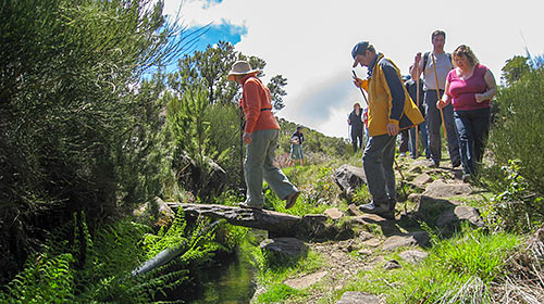
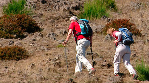
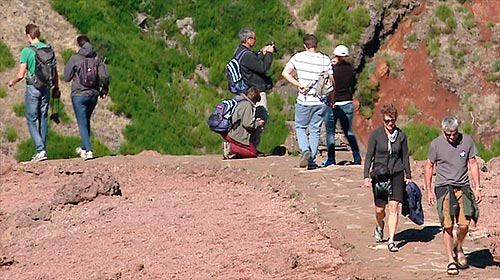
So if you have the healthy habit of walking in search of fresh air and spiritual tranquillity or just want to discover the island on foot, there are several wonderful levada walks to choose from.